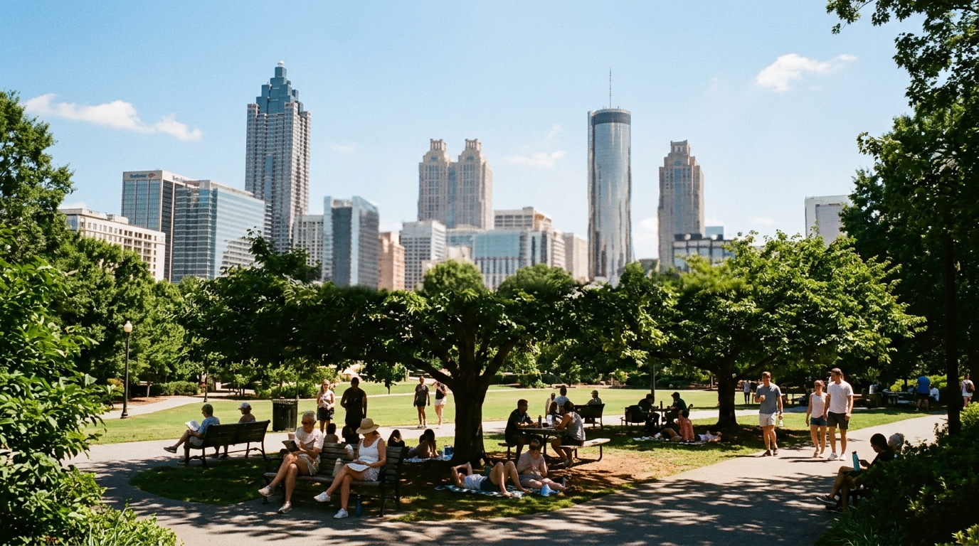

ATLANTA — The map finally flipped.
Atlanta News First reported that the National Weather Service announced Thursday the extensive drought that gripped Georgia has officially ended after nearly a year. The event began Sept. 23, 2025, and persisted through Wednesday, Aug. 5, before the latest Drought Monitor cycle cleared the severe-or-worse categories that trigger ongoing drought information statements.
How bad it got
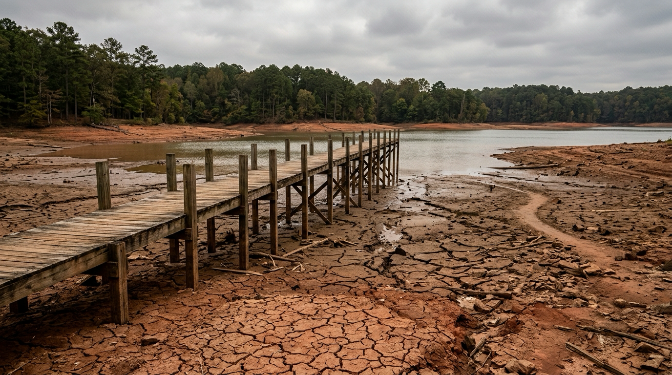
This was not a routine dry spell with a loud label. In April 2026, ANF noted, the entire state of Georgia experienced severe drought at the same time — described as a first in the 26-year history of the U.S. Drought Monitor. At that April peak, exceptional drought (D4) covered about one-third of the state. Average counties spent roughly 25 weeks locked in at least severe drought; Harris County endured the longest stretch at 38 consecutive weeks at severe or worse.
Those numbers explain why lawns browned, reservoirs sat low, and outdoor burn caution stayed elevated deep into the warm season. They also explain why Thursday’s announcement carries more weight than a single soaking thunderstorm highlight reel.
What “officially over” means
Per ANF’s explanation of NWS criteria, the drought is treated as officially over when no severe drought (D2) or worse remains on the Georgia map. A few counties can still show moderate drought (D1) or abnormal dryness (D0) without forcing the full drought-alert machinery to stay on. That is the situation now: the intensive statewide event is over, while a handful of northern counties still carry moderate drought that forecasters expect to keep improving if typical summer storm patterns hold.
Most of the state has improved to abnormally dry or better — a major step down the ladder from the spring peak.
Daily-life implications
Watering rules. Cities and counties that imposed outdoor watering limits may begin easing them. Residents should still check their local utility before assuming every restriction vanished overnight; local rules can lag the Drought Monitor by days or weeks.
Fire danger. Overall wildland-fire risk drops as soil moisture recovers, though lightning and human-caused starts do not disappear in August heat.
Yards and farms. Lawns, gardens, and late-summer crops get a fairer fight. Recovery is not instant for deeply stressed trees and perennial beds, but the moisture trend finally runs the right direction.
Lakes and streams. Reservoir and streamflow recovery matters for drinking-water systems and recreation. Stabilization beats another month of managed releases on a falling pool.
What the next week looks like on the ground
Ending drought does not end summer weather. NWS Peachtree City’s public forecast discussion heading into the weekend still featured building heat — lows near the 70s, highs climbing back toward the low and mid-90s, and heat-index values that can reach the triple digits when the Bermuda high asserts itself. Afternoon storms remain both a flood nuisance and the main natural brake on extreme heat-index spikes.
For metro planners, the combined message is almost boring: the multi-season water emergency is off the board, but the hourly summer playbook (hydrate, shade, watch the radar after 2 p.m.) still applies.
Keep perspective
A cleared severe-drought map is a milestone, not a permanent climate reset. Georgia has swung from exceptional drought to recovery before. The useful civic habit is the same one water managers preach in every cycle: treat Thursday’s news as permission to ease emergency posture, not permission to waste the rain that finally showed up.