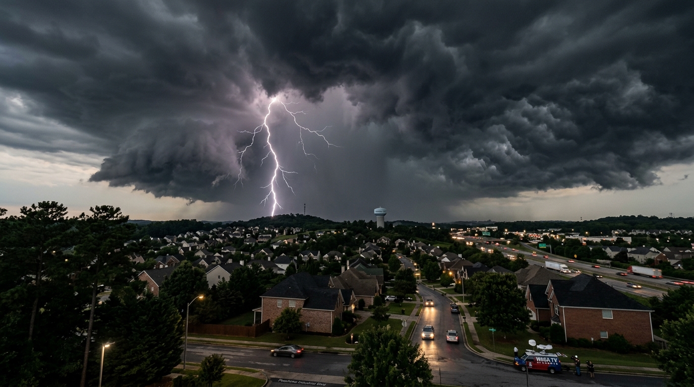

A fast-moving line of severe thunderstorms swept across north Georgia on Wednesday evening, prompting tornado warnings for multiple metro Atlanta counties and leaving tens of thousands without power as damaging winds and large hail battered the region.
The National Weather Service office in Peachtree City issued tornado warnings for Cherokee, Forsyth, and Gwinnett counties beginning around 5:15 p.m. as radar indicated strong rotation within a line of supercell thunderstorms moving northeast at approximately 45 miles per hour. The warnings remained in effect through the early evening hours as the storm system pushed through the northern suburbs.
Damaging Winds and Large Hail
The storm complex produced wind gusts exceeding 60 miles per hour across portions of north Georgia, with the strongest gusts reported along the I-985 corridor in Gwinnett and Hall counties. Large hail — some reports indicating stones up to the size of quarters — was observed in areas near Cumming, Canton, and Dawsonville.
Power outages spread rapidly as the storm line advanced. Georgia Power’s outage tracker showed widespread service disruptions across Cherokee, Forsyth, Gwinnett, and Hall counties, with crews mobilizing to begin restoration efforts once conditions were safe.
The NWS confirmed that storm spotters and emergency management personnel were deployed throughout the warning areas to assess conditions on the ground. As of the last update, no confirmed tornado touchdowns had been reported, though damage surveys were expected to continue into Thursday morning.
Timeline of the Storm System
The severe weather event unfolded quickly:
- 3:00 p.m. — The Storm Prediction Center upgraded north Georgia to a moderate risk (level 4 of 5) for severe weather.
- 4:30 p.m. — Severe thunderstorm warnings issued for Bartow and Cherokee counties.
- 5:15 p.m. — First tornado warnings issued for Cherokee County as radar detected strong rotation.
- 5:45 p.m. — Tornado warnings extended to Forsyth and Gwinnett counties.
- 7:00 p.m. — Storm line began to weaken as it moved into northeast Georgia.
- 8:30 p.m. — All tornado warnings expired. Severe thunderstorm warnings continued for select northeast Georgia counties.
What Residents Should Know
The NWS urged residents in the affected areas to remain vigilant overnight, as additional isolated storms were possible through the predawn hours Thursday. A wind advisory remains in effect for much of north Georgia until 6:00 a.m.
Emergency management officials reminded residents to:
- Stay away from downed power lines. Assume all fallen lines are energized and report them to Georgia Power or your local utility.
- Check on neighbors, particularly elderly residents and those with mobility challenges.
- Document property damage with photos and contact your insurance provider as soon as possible.
- Avoid driving through standing water. Many roads in low-lying areas may remain flooded into Thursday morning.
Safety Tips for Future Severe Weather Events
North Georgia’s spring severe weather season typically runs from March through May, and Wednesday’s storms serve as a reminder that preparation is essential:
- Have multiple ways to receive weather alerts. A NOAA weather radio, smartphone alerts, and local news are all critical tools.
- Know your safe room. An interior room on the lowest floor — away from windows — is the safest place during a tornado warning.
- Keep an emergency kit stocked with water, flashlights, batteries, medications, and important documents.
- Review your family’s severe weather plan before the next event.
Looking Ahead
The storm system is expected to exit the state by early Thursday, with drier conditions and partly sunny skies returning by the afternoon. Temperatures will drop into the low 50s Thursday night before warming through the weekend.
WACN 21 will continue to provide updates as damage assessments are completed and power restoration progresses. Check back for the latest forecast and any additional watches or warnings.
Tom Whitaker covers weather and climate for WACN 21 News. Reach him at twhitaker@wacn21.com.