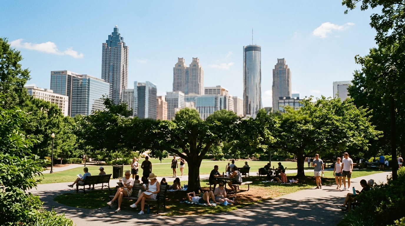

ATLANTA — After a wet weekend on the National Weather Service calendars, Monday looks like a classic late-summer split: sun and humidity early, then a renewed shot at afternoon storms.
The NWS point forecast for a location just east-southeast of downtown Atlanta, updated early Aug. 2 and still the operative public grid into Monday, called for Monday to trend mostly sunny with a high near 87°F and a 30 percent chance of showers and thunderstorms, mainly after 4 p.m. West winds were forecast to increase from light to 5–10 mph in the morning, with gusts as high as 15 mph. Monday night carried the same 30 percent storm chance before 8 p.m., then a low around 71°F under partly cloudy skies.
What the office is emphasizing
NWS Atlanta/Peachtree City’s office homepage has framed the broader pattern as seasonal heat and humidity supporting daily rain and thunderstorm chances that peak in the afternoon. Graphicasts and hazard outlooks earlier in the weekend highlighted multiple rounds of showers, with damaging wind and heavy rainfall listed among the main storm hazards when coverage was higher Saturday. Monday’s lower probability is not a dry guarantee — it is a timing and coverage shift after the higher weekend odds.
Observations at Hartsfield-Jackson Atlanta International Airport in the overnight period around the forecast issuance showed overcast skies, temperatures in the upper 70s, dew points near 74°F, and southwest winds near 8 mph — the moist boundary-layer setup that keeps pulse storms in the conversation even on mostly sunny days.
Extended look through midweek
The same NWS seven-day package sketched this outline for the city:
- Tuesday: High near 88°F with storm chances climbing; precipitation probabilities were listed as high as 70 percent later in the day, then 60 percent Tuesday night.
- Wednesday–Thursday: Highs near 90°F with 30–40 percent afternoon storm chances.
- Friday–Saturday: Continued warm readings near 90°F and daily 30–40 percent storm odds.
In plain language: the oppressive deep-South August pattern is not breaking. Commuters, outdoor workers, and anyone headed to evening events should treat 3–8 p.m. as the higher-risk window even when morning radar is quiet.
Practical impacts for Monday plans
- Falcons camp / outdoor sports: Morning sessions are favored over late-afternoon hill time if storms blossom after 4 p.m.
- MARTA and roadways: Brief heavy rain can slow the Downtown Connector and surface streets even without a warning; Georgia 511 remains the state road-condition feed.
- Heat and humidity: Dew points in the 70s keep heat index values above air temperature; short outdoor shifts and water breaks still matter on a mild-looking 87°F day.
- Evening events: A 30 percent chance is not a washout forecast, but pop-up storms can still cut power or delay starts between 5 and 9 p.m.
Always check the latest NWS Atlanta hazardous weather outlook and local warnings before locking outdoor plans — summer grids update through the day as sea-breeze and leftover outflow boundaries evolve.