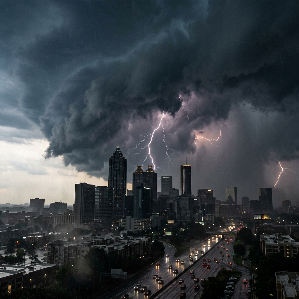

ATLANTA — A wet Saturday is the headline out of the National Weather Service office in Peachtree City, with metro Atlanta under a high chance of showers and thunderstorms through the evening and overnight.
The NWS point forecast for a location two miles east-southeast of downtown Atlanta, last updated about 2:26 a.m. EDT Saturday, listed a Saturday high near 86°F and a 90% chance of precipitation. The detailed wording called for showers and thunderstorms before 2 p.m., showers likely with a possible thunderstorm between 2 and 5 p.m., then a chance of additional storms after 5 p.m. New rainfall amounts of a quarter to half an inch were possible during the day.
Saturday night stays active
The overnight package is not a quick clear-out. NWS wording for Saturday night listed showers and thunderstorms likely before 5 a.m., then a chance of showers, with a low around 73°F and a 70% chance of precipitation. Additional rainfall of a tenth to a quarter of an inch was noted, with higher amounts possible in thunderstorms. South winds 5 to 10 mph with gusts as high as 15 mph were in the forecast text.
Sunday looks only slightly drier: a high near 88°F and a 40% chance of afternoon storms, with partly sunny skies and southwest winds 5 to 10 mph.
What Friday left behind
The official Atlanta climate summary for July 31, issued at 4:23 a.m. Saturday by NWS Peachtree City, showed a high of 91°F at 4:46 p.m., a low of 70°F, and no measurable rain at Hartsfield-Jackson Atlanta International Airport. Month-to-date precipitation through July 31 stood at 6.14 inches, 1.39 inches above the 1991–2020 normal for the date. Sunrise Saturday was listed at 6:50 a.m. EDT and sunset at 8:38 p.m.
Early Saturday observations at KATL around 2:52 a.m. showed mostly cloudy skies, 77°F, dewpoint 66°F, and a heat index near 79°F with an east wind around 6 mph.
Regional risk notes
Separate NWS Atlanta social posts circulating Friday night and early Saturday flagged several rounds of storms for Saturday, with a first round possible late morning into early afternoon and a second round capable of developing later from Alabama. Messaging highlighted elevated flash-flood risk and a severe-storm risk focused mainly on western and northwestern Georgia, including damaging winds, lightning, and very heavy rainfall. Metro residents should treat those regional notes as a heads-up to monitor watches and warnings through the day, even when the city forecast is framed as showers first and severe weather second.
How it hits Saturday plans
A 90% rain chance collides with a crowded outdoor calendar:
- Red Bull Showrun demos on Hank Aaron Drive (afternoon/evening window)
- Multiple back-to-school bashes and park festivals
- Braves–Nationals at Truist Park in the evening
- Open Falcons training-camp windows in Flowery Branch earlier in the day
Practical guidance from the forecast itself is straightforward: build weather buffers into travel, watch for ponding on secondary roads after heavy cells, and treat lightning as an automatic stop for outdoor activities. Event organizers with rain dates — including the Summerhill motorsports program’s Sunday makeup option reported earlier this week — will be watching radar into the afternoon.
Outlook through midweek
Beyond Sunday, the NWS extended forecast kept a daily chance of afternoon storms into early next week, with highs generally in the upper 80s to around 90°F. Heat builds again after the slightly cooler, wetter weekend pattern, according to recent office messaging on the Peachtree City homepage.
Check weather.gov/atlanta for the latest Hazardous Weather Outlook, radar, and any flash-flood or severe thunderstorm products before committing to outdoor plans.