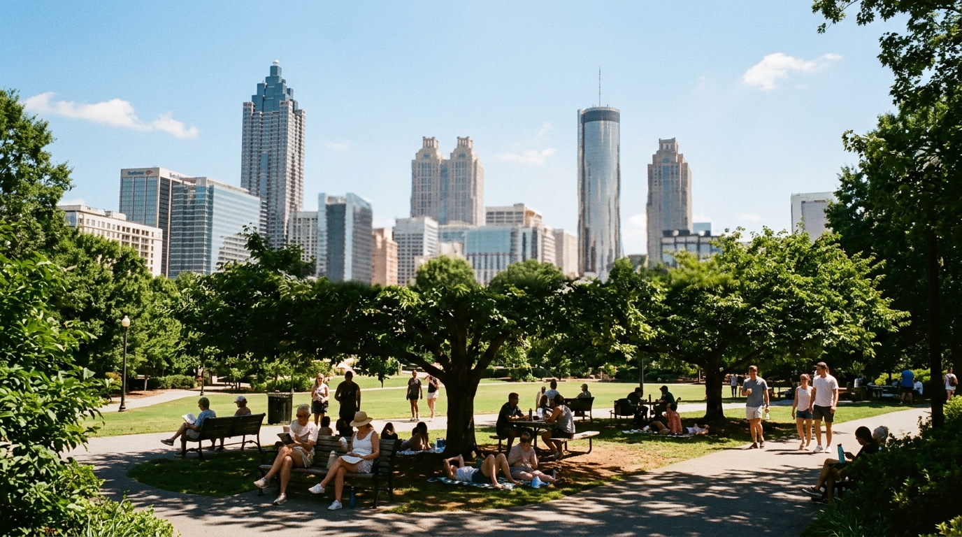

ATLANTA — The oppressive stretch is on pause. The next several days look drier and less sticky, not storm-free forever.
The National Weather Service Peachtree City Area Forecast Discussion issued at 3:53 a.m. EDT Sunday, Aug. 23, leads with three key messages:
- Mostly dry for North Georgia, with only low (15–20%) thunderstorm chances across parts of Central Georgia through Tuesday.
- Daily rain chances rise by mid to late week as a frontal boundary approaches.
- Seasonal temperatures are largely expected through the week ahead.
At issuance, the product listed no watches, warnings, or advisories.
Quiet overnight, limited afternoon risk south
The short-term section (issued 3:50 a.m. EDT) called the night/early morning quiet across North and Central Georgia. Temperatures were still warm under high cirrus and mid-level clouds, with latest readings in the low 70s. Some low clouds and patchy fog remain possible later Sunday morning, though NWS did not expect them to be as extensive as Saturday.
A secondary surface front pushes through today while upper troughing digs east toward the Atlantic Coast. Isolated thunderstorms remain possible late this afternoon into early evening across parts of Central Georgia. Any stronger storms could produce damaging wind gusts given lingering moisture and instability south of the front.
By Monday, the front should push farther into Florida and along the Georgia/South Carolina coastline, limiting precipitation chances further. NWS expects drier conditions for most to start the work week.
Heat without the worst humidity
Drier air and lower dewpoints continue behind the secondary front, making the heat less oppressive Sunday and Monday even though daytime temperatures still largely sit in the 90s. Dewpoints in the 60s are the comfort signal. Overnight lows fall into the 60s to low 70s, with upper 50s at higher elevations.
Atlanta numbers in the AFD
Preliminary point guidance in the same discussion puts Atlanta near:
- Sunday: high 92°F, low 70°F, daytime rain chance about 10%
- Monday: high 90°F, low 69°F, rain chance near 0–10% in the tabulated sequence
Other sample Sunday highs: Athens 93, Macon 95, Columbus 95, Peachtree City 92, Blairsville 84, Vidalia 96. Central Georgia points (Columbus/Macon/Vidalia) carry the slightly higher 20% afternoon storm chances Sunday.
Midweek and beyond
The longer-range section keeps a northwest flow aloft. A more comfortable airmass with 60s dewpoints holds into Tuesday while a front lingers south across south Georgia/northern Florida. Moisture gradually increases midweek; disturbances in the flow offer some shower/storm chances Tuesday and Wednesday.
By Thursday into Friday, another cold front looks to push southeast as a trough swings through the Great Lakes, lifting rain chances more markedly. Highs through the period stay near normal — upper 80s to lower 90s — with fairly pleasant morning lows in the 60s for much of north Georgia and lower 70s farther south.
How to use this
This is a forecast discussion, not a storm survey and not a heat-advisory declaration. Treat Sunday afternoon as a low-end, mainly central Georgia storm window; treat dewpoints in the 60s as the outdoor-comfort improvement; and treat mid-to-late week as the next period when daily rain chances climb again.
Primary source: NWS Peachtree City Area Forecast Discussion — issued 3:53 a.m. EDT Aug. 23, 2026.