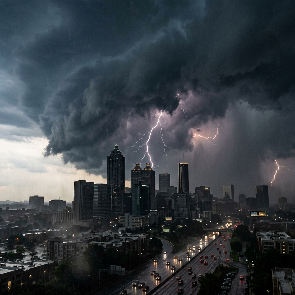
A rapidly intensifying bomb cyclone off the Carolina coast drove snow into north and central Georgia overnight Saturday, dropping 1 to 3 inches across metro Atlanta and turning the city’s road network into a sheet of ice by Sunday morning.
The storm — unofficially named Winter Storm Gianna by The Weather Channel — was centered about 200 miles east of Charleston as of 11 p.m. Saturday, and was strengthening as it moved northeast. The National Weather Service issued a Winter Storm Warning for the entire metro area through noon Sunday.
“This is not a Storm of the Century. This is a one-day event. But it is the kind of storm where the safest thing to do is stay home.”
— NWS Atlanta, in a Saturday-evening forecast discussion
What’s happening now
- Snow is tapering off from west to east, but a second round of light snow is expected to develop Sunday morning as the storm’s upper-level energy swings through the region.
- Wind chills are dropping into the single digits in the north metro and the low teens in the city.
- Black ice is the primary overnight hazard. Pavement temperatures dropped below freezing by 9 p.m. Saturday and will not climb above freezing until midday Monday at the earliest.
What’s closed
- Hartsfield-Jackson Atlanta International Airport reported roughly 230 flight cancellations and nearly 400 delays as of Saturday evening, the airport said in a statement. Most cancellations are to and from East Coast destinations.
- MARTA is running on a modified snow schedule. Rail service is operating but at reduced frequencies; bus service is suspended through Sunday morning.
- Atlanta Public Schools and most metro-area districts have already announced closures for Monday.
- City of Atlanta government offices will open at 10 a.m. Monday, the mayor’s office said late Saturday.
What officials are saying
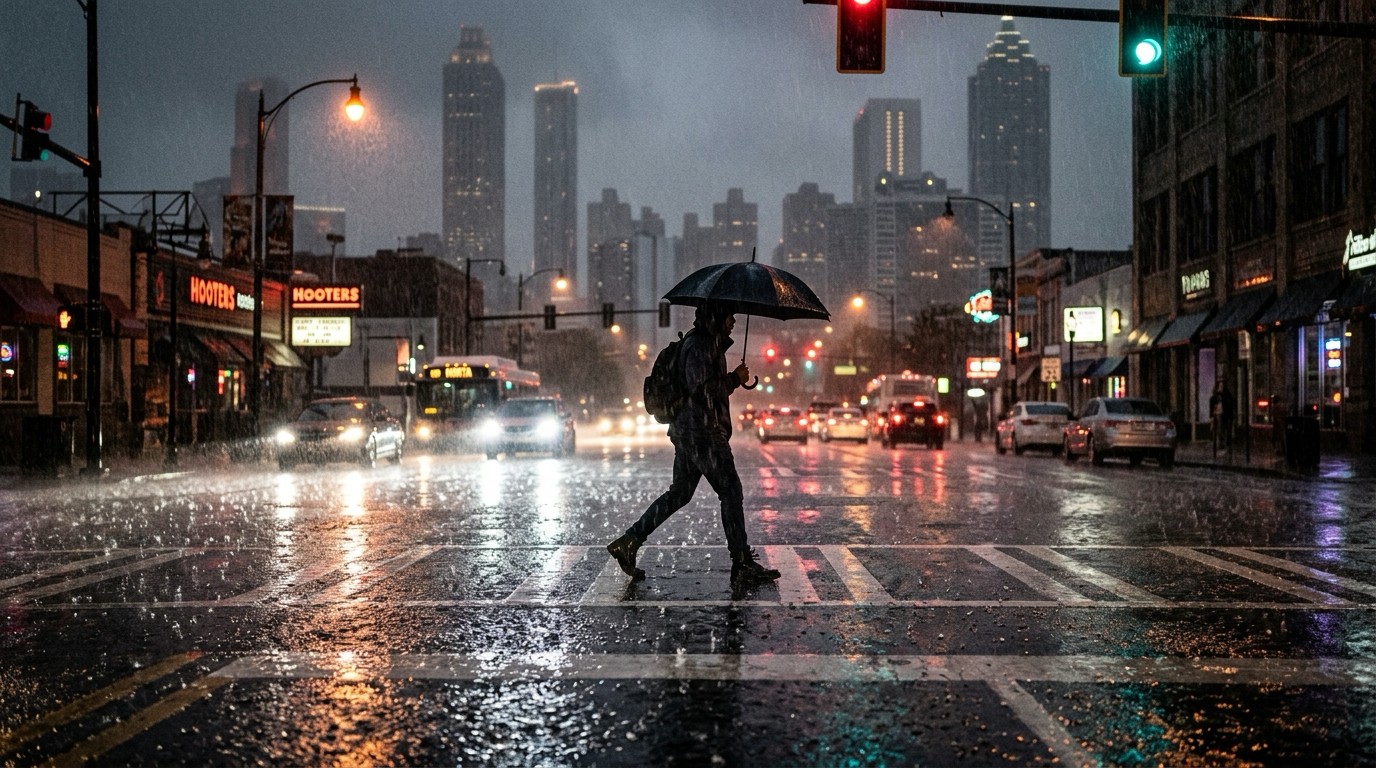
“If you do not have to be out, please do not be out. This is the kind of storm where you can drive on what looks like a wet road at 35 mph and end up in a ditch at 35 mph.”
— Mayor Andre Dickens, in a Saturday-evening statement
The Georgia Department of Transportation said it had pre-treated major interstates with brine beginning Friday evening and that crews would be working 12-hour shifts through the weekend. The agency urged residents to avoid driving unless absolutely necessary.
“We learned the lessons of 2014 and 2011. We pre-treated. We staged equipment. We have staffed shelters. But we cannot pre-treat common sense, and common sense says stay home.”
— Russell McMurry, GDOT commissioner
Power outages
As of 11 p.m. Saturday, Georgia Power was reporting roughly 9,400 customers without service across metro Atlanta, most of them in Fulton, DeKalb, and Cobb counties. The utility said it had pre-positioned crews and was working to restore power overnight, but warned that the freezing rain forecast for Sunday morning could create new outages.
What’s next
Snow should end completely across the metro area by midday Sunday, but temperatures will not climb above freezing until Monday afternoon. That means refreezing is likely Sunday night, and roads that appear wet Sunday afternoon will almost certainly be icy by Monday morning rush hour.
Forecasters are already watching a second system that could bring more winter weather to the region Wednesday, though it’s too early to know whether it will be rain, snow, or a mix.
Tom Whitaker leads WACN 21’s weather desk. Reach him at twhitaker@wacn21.com.